Connecting People, Location & Data Through ArcGIS
Unlocking the Power of Where helps to connect people, locations, and data using interactive maps. It allows us to work with smart, data-driven styles and intuitive analysis tools. It also shares individual insights with the world or specific groups.


Map & Interact with Your Location Data
ArcGIS helps to gain new perspectives and enhanced details as you interact with data, zoom in, and search on the map. It uses smart, data-driven mapping styles and intuitive analysis tools to gain location intelligence. It works effectively across your organization by collaboratively building and using maps and sharing your insights with specific people or the world.
Make Interactive Maps
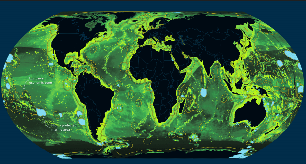
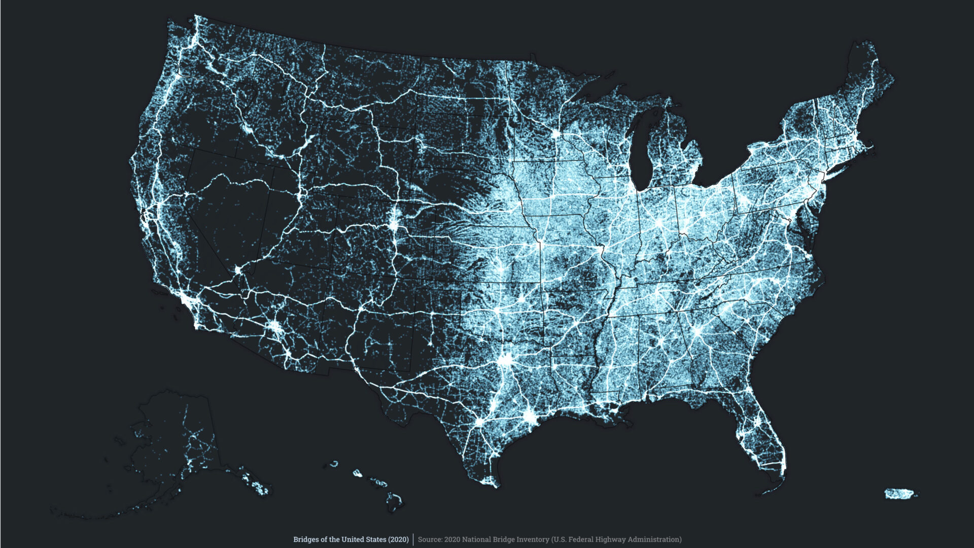
Leverage geography to tell your story and Unlock the Power of Where. Build interactive maps with the help of ArcGIS web mapping that explains your data and encourages users to explore. Map your data and gain perspective by adding the authoritative location-based data included in ArcGIS. Use smart mapping to guide your data exploration and visualization on the web by combining maps, text, images and multimedia content.
Request a quote to learn more about ArcGIS web mapping.